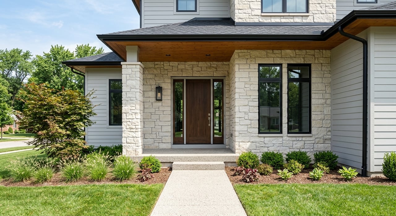
If you want a suburb where outdoor access feels built into daily life, West Linn stands out fast. This is a city where rivers, wooded parks, and neighborhood trails are not just nice extras, they shape how you move through the week. Whether you are planning a move, narrowing down neighborhoods, or wondering what everyday life really feels like here, this guide will walk you through West Linn’s river access, parks, trails, and layout. Let’s dive in.
Why West Linn Feels So Outdoors-Oriented
West Linn sits about 15 miles south of Portland on the west bank of the Willamette River in Clackamas County. As of July 1, 2025, the city’s certified population estimate was 27,601. City materials also show a land-use pattern that helps explain the lifestyle here: 82% residential land use, 12% parks and open space, 4% commercial, and 6% rivers.
That mix gives West Linn a distinctly residential feel with nature woven into the city itself. Instead of feeling like parks are separate destinations, you are more likely to experience them as part of normal routines. A quick walk, a dog outing, or time by the water can fit into an ordinary weekday.
River Access in West Linn
One of the biggest draws of living in West Linn is how closely the city connects to the Willamette River and the Tualatin River. West Linn is a partner in the Willamette River Water Trail, and the city maintains several public river-facing parks and access points. If you enjoy paddling, fishing, wildlife viewing, or simply being near the water, that access is a major lifestyle advantage.
The city offers both large destination parks and smaller access points. That means you do not have to plan a full day outdoors to enjoy the setting. In many parts of West Linn, getting outside can be simple and close to home.
Willamette Park and Bernert Landing
Willamette Park and Bernert Landing sit where the Tualatin River meets the Willamette River. This is one of West Linn’s best-known public access areas and includes a boat ramp, dock system, picnic shelters, ballfields, volleyball courts, horseshoe pits, a playground, a wading pool, WiFi, and wildlife viewing.
For many buyers, this kind of park helps define what living in West Linn means. You have room for active recreation, space to gather, and easy river access in one location. It is the kind of amenity that supports both everyday use and weekend plans.
Mary S. Young Park
Mary S. Young Park is a large wooded riverfront park with numerous trails, river access, sports fields, and an off-leash dog area. It offers a more natural feel than some of the city’s multi-use recreation parks, which makes it a favorite for people who want a quieter outdoor setting.
If you picture morning trail walks, summer river visits, or easy dog outings, this park is a strong example of the West Linn lifestyle. It also helps explain why buyers often pay close attention to nearby neighborhoods when they want both nature access and convenience.
Cedaroak and Cedar Island
Cedaroak Boat Ramp adds another layer of river access with hiking trails, fishing, restrooms, and wildlife viewing. Nearby Cedar Island is accessible by boat and seasonally by pedestrian bridge from Mary S. Young Park.
This cluster gives West Linn a more varied waterfront experience than many suburban buyers expect. You are not limited to one main river destination. Instead, you get several ways to experience the water depending on the season and your routine.
More Riverfront Options
Additional river-facing locations include West Bridge Park, Maddax Woods, Burnside Park, Tualatin River Open Space, Swiftshore Open Space, and Fields Bridge Park. Amenities vary by site and can include paths, open space, fishing platforms, community gardens, athletic fields, and wildlife viewing.
That variety matters if you are comparing West Linn to other Portland-area suburbs. Some cities offer one signature park. West Linn offers a broader network, which makes outdoor access feel more distributed and practical.
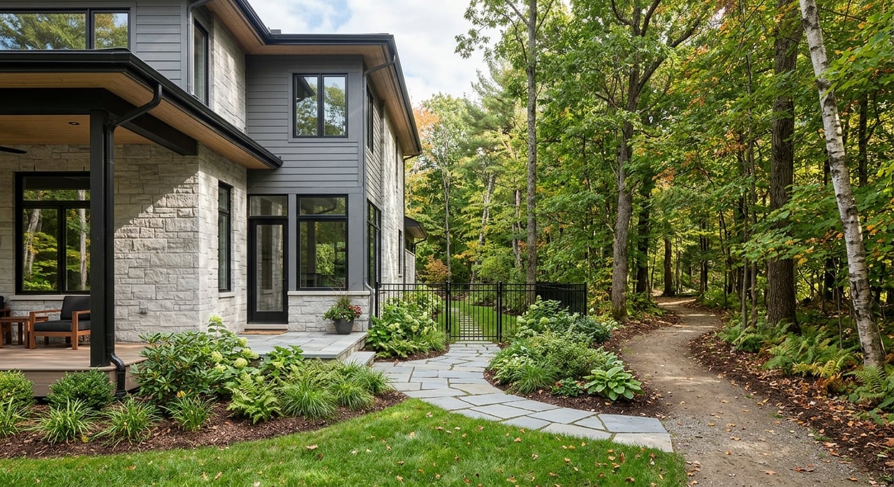
Parks and Trails Shape Daily Life
West Linn reports more than 600 acres of park land and 25.6 miles of trails. For a city of just 8.1 square miles, that is a meaningful amount of outdoor infrastructure. It is one reason the city often feels more connected to nature than its size might suggest.
The trail system is not limited to a single greenbelt or a few isolated paths. According to city trail planning materials, West Linn has 18.2 miles of trails through parks and open spaces, plus 7.4 miles on easements, city property, residential linkages, and unimproved public right-of-way. That creates a citywide network rather than a few standalone recreation areas.
Neighborhood Trail Access
Trail maps are organized by neighborhoods including Robinwood, Mary S. Young, Bolton, Tanner Creek, North Willamette, and Willamette. For buyers, that is an important detail because access to trails can vary in feel from one part of town to another. In some areas, trails may connect more directly to parks and open space, while in others they function more as neighborhood linkages.
This can shape the kind of daily routine you want. If you value frequent walks without getting in the car, trail proximity may be just as important as square footage or lot size.
Trails as Transportation Infrastructure
In West Linn, trails are part of the bigger mobility picture. City planning documents show that roads and trails are considered together, especially as the city balances regional traffic, local travel, and long-term pedestrian and bicycle access.
That matters because Highway 43 is both a regional commuter route and an important local route. West Linn’s transportation planning recognizes congestion and safe bicycle and pedestrian access as long-term priorities, which is useful context if you are thinking about how the city functions beyond the weekend lifestyle.
West Linn Has a Village-Like Layout
One thing that surprises some buyers is that West Linn does not have one dominant downtown or commercial core. City planning materials describe daily services as spread across several smaller centers. The result is a more village-like pattern, where errands, dining, and neighborhood businesses are distributed rather than concentrated in one dense area.
For many residents, that supports a quieter suburban feel. You can still find places to dine, shop, and run errands, but the city remains primarily residential in character.
Historic Willamette
Historic Willamette Main Street is described by the city as the heart of downtown and a place to dine, shop, connect, and socialize. The surrounding Willamette Falls Drive area includes restaurants, cafes, and neighborhood businesses.
If you like older character, walkability, and proximity to both services and river-oriented spaces, this area is often one of the first places buyers explore. The Willamette Historic District is also a special zoning area listed on the National Register of Historic Places, with 38 officially designated historic properties.
Robinwood and Bolton
Robinwood’s business district runs along Highway 43 and is noted in city planning materials as a place where locally owned businesses thrive. The neighborhood plan also points to better access to the river and nearby Mary S. Young State Park.
Bolton includes commercially zoned properties along Willamette Drive as part of its planning framework. In practical terms, both Robinwood and Bolton can appeal to buyers who want access to parks and local services without being far from major road connections.
Hills, Views, and Neighborhood Differences
West Linn’s topography plays a big role in how different parts of the city feel. Elevation ranges from 10 feet at the north end of the Willamette River to 743 feet at Suncrest Drive and Derby Street. In a compact city, that creates noticeable differences between river-level areas and hillside neighborhoods.
Some areas tend to feel closer to the river, older commercial corridors, and established parks. Higher-elevation neighborhoods such as Rosemont Summit, Sunset, and Skyline Ridge are more likely to trade immediate river access for broader views, based on the city’s topography and neighborhood geography.
For buyers, this is where lifestyle becomes very personal. You may prefer quick access to waterfront parks and trailheads, or you may be drawn to a more elevated setting with a different sense of space. West Linn offers both within a relatively small footprint.
Commuting and Getting Around
West Linn’s location is one of its practical strengths. The city sits about 15 miles south of Portland and has direct access to Highway 43 and I-205, which places it within the broader Portland metro employment network while still maintaining a suburban, park-oriented feel.
Transit is part of the mix as well. City transit information points residents to TriMet service on Routes 35, 76, and 153, with connections into the larger Portland transit system.
If you are relocating from outside the area, this balance can be especially appealing. West Linn offers strong access to outdoor amenities and neighborhood-scale commercial areas while still staying connected to the rest of the metro.
What Living in West Linn Is Really Like
In simple terms, West Linn fits buyers who want a residential setting where outdoor access is part of everyday life. The city’s 600-plus acres of parks, 25.6 miles of trails, and multiple river access points give it a lifestyle profile that feels active, scenic, and grounded in the natural landscape.
It also offers variety within that lifestyle. Some parts of town lean more historic and river-adjacent. Others feel more connected to neighborhood business hubs or hillside settings. That is why it helps to look beyond a map and think about how you want to spend a normal Tuesday, not just a sunny Saturday.
If you are thinking about buying or selling in West Linn, local context matters. The right fit often comes down to trail access, commute patterns, elevation, nearby services, and the kind of day-to-day setting that feels best for you. If you want help understanding which part of West Linn aligns with your goals, connect with Peak Realty for local guidance grounded in the Portland-area market.
FAQs
What is West Linn known for?
- West Linn is known for its residential character, river access, wooded parks, and extensive trail network, with more than 600 acres of park land and 25.6 miles of trails.
Does West Linn have access to the Willamette River?
- Yes. West Linn has multiple public river access points, including Willamette Park and Bernert Landing, Mary S. Young Park, Cedaroak Boat Ramp, and several other river-facing parks and open spaces.
Are there many parks and trails in West Linn?
- Yes. The city reports more than 600 acres of park land and a total of 25.6 miles of trails across parks, open spaces, easements, city property, and neighborhood linkages.
Does West Linn have a downtown area?
- West Linn does not have one dominant downtown or commercial core. Instead, daily services are spread across smaller hubs such as Historic Willamette, Robinwood, and Bolton.
Is West Linn convenient for commuting to Portland?
- West Linn is about 15 miles south of Portland and has access to Highway 43 and I-205. TriMet also serves the city through Routes 35, 76, and 153.
How do neighborhoods differ within West Linn?
- Neighborhoods vary based on river proximity, commercial access, and elevation. Some areas are closer to riverfront parks and historic corridors, while higher-elevation areas may offer broader views within the city’s hillside setting.